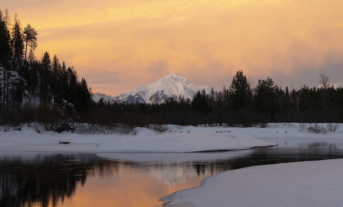
Local snowpack holds steady despite dry February
With its northwestern river basins still making par for snowpack by the start of March, natural resource officials say last month overall proved “disappointingly dry” elsewhere for Montana.
Just the Flathead River basin, at 94% on Monday, in Northwest Montana fell below normal 30-year snow-water equivalent data values for snowpack, produced by the Natural Resources Conservation Service’s SNOTEL Network.
The St. Marys River Basin on Monday tallied 107% of normal, with the Lower Clark Fork and Kootenai river basins at 100% and 107%, according to the NRCS data.
Aside from the Bitterroot and Tongue basins — at 95% and 93% on Monday, respectively — the rest of the state ranged from a high of 88% of normal in the Upper Clark Fork Basin to a low of 77% in the central Smith-Judith-Musselshell Basin.
“You are definitely doing better in Northwest Montana than we are down in southern south-central and southwest Montana” said Bozeman-based NRCS hydrologist Eric Larson.
Normal snowfall through April is all that’s needed for the region.
“Generally, upper elevations, they reach their highest snowpack level near the middle to the end of April,” Larson said of the northwest region. “Continued snowfall over the next month at normal levels would be good to maintain those currently good snowpack percentages.”
NRCS officials, however, point to a dry February for struggling snowpack percentages elsewhere in the state, despite promising forecasts for the month.
January also delivered below average precipitation for much of the state. Heavy hitting storms will be needed over the next two months for Montana to bounce back.
“Despite another round of promising weather outlooks, February did not bring the anticipated storms and was, overall, disappointingly dry,” NRCS officials said in a Monday release.
“The main culprit was a stubborn ridge of high pressure off the West Coast that blocked Pacific moisture from flowing to the Rocky Mountain region,” the release said.
For example, parts of Southwest Montana received as little as 50% of typical February precipitation, setting record low accumulations for the month, according to the NRCS.
Albeit the odds remain slim, the state has bounced back from snowpack totals running well below normal by the start of March, the service said in its Monday release.
Streamflows, meanwhile , mirror that of snowpack: remaining normal west of the Divide and lacking elsewhere in Montana.
“The next couple of months will determine if basins with below normal snowpacks can add to their mountain reservoirs, reach normal peaks, and improve the outlook for streamflow this spring and summer,” Larson said.
A warmer spring could drive rivers to peak early and ultimately deliver less water during summer months, according to the NRCS.
National Oceanic and Atmospheric Administration data indicate a slight probability for above-normal precipitation through May in at least Northwest Montana. Equal chances remain for above- or below-normal precipitation elsewhere in the state, according to the agency.
Temperature-wise, a slight chance is forecast for below-normal temperatures in the northwestern region, with equal chances of above- or below-normal temperatures through May for the remainder of the state, according to agency’s seasonal temperature outlook.


